These data sets are simplifications of the formal statistical areas and regions published by the ABS in 2016.
Format
Simple features data frame with
- NAME
Area name
- geometry
Geometry column in 'sfc' format
Details
Each layer was read from the source file with 'sf' package and attributes were removed, leaving a single 'NAME' column from the year-specific column names. The geometry has been simplified using 'rmapshaper::ms_simplify' with default arguments (0.05 detail).
Several layers are not included from the total available.
The entire nation layer 'AUST' is not included as it is the union of the State and Territory layer.
Statistical Areas Level 1 is not included as it is very large (56Mb after simplification).
The mesh blocks are not included, nor Greater Capital City Statistical Areas, Indigenous Regions, Remoteness Structure, Statistical Areas (L2, L3, L4), State Electoral Divisions. See 'ozmaps.data' for these.
Data layers
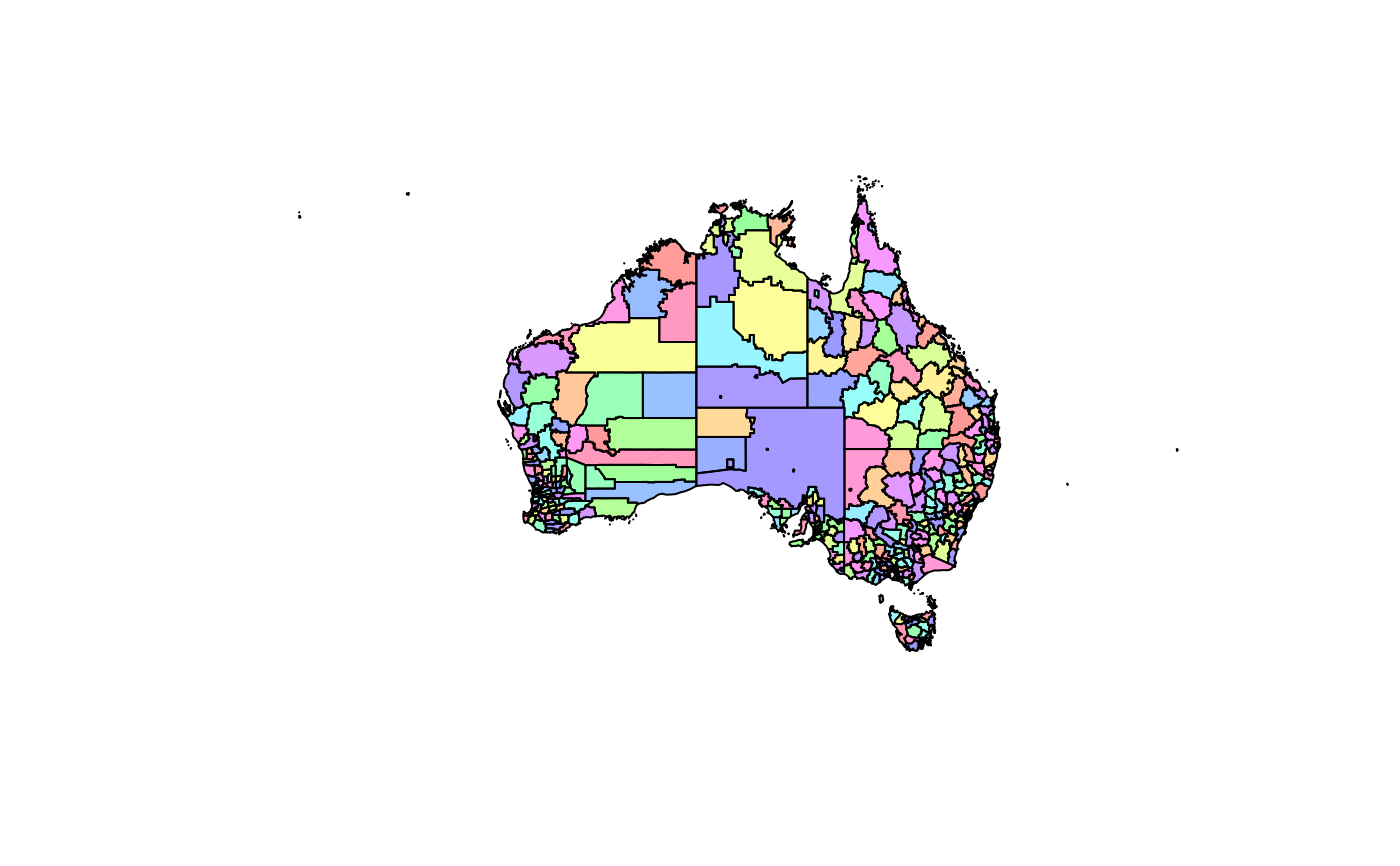
- abs_ced
Commonwealth Electoral Divisions
- abs_lga
Local Government Areas
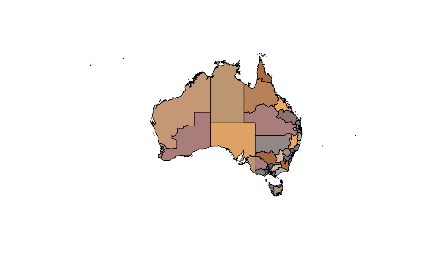
- abs_ste
State and Territory
See also
The script to create the data set: data-raw/abs-inbuilt.R
Examples
ozmap("abs_ste")pal <- rainbow(12, alpha = 0.6) ## boring! install paletteer for ochRe palettes if (isTRUE(requireNamespace("paletteer", quietly = TRUE))) { if (utils::packageVersion("paletteer") < '1.0.0') { pal <- paletteer::paletteer_d(package = "ochRe", palette = "namatjira_qual") } else { pal <- paletteer::paletteer_d(palette = "ochRe::namatjira_qual") } } opal <- colorRampPalette(pal) ozmap("abs_ced", col = opal(30))