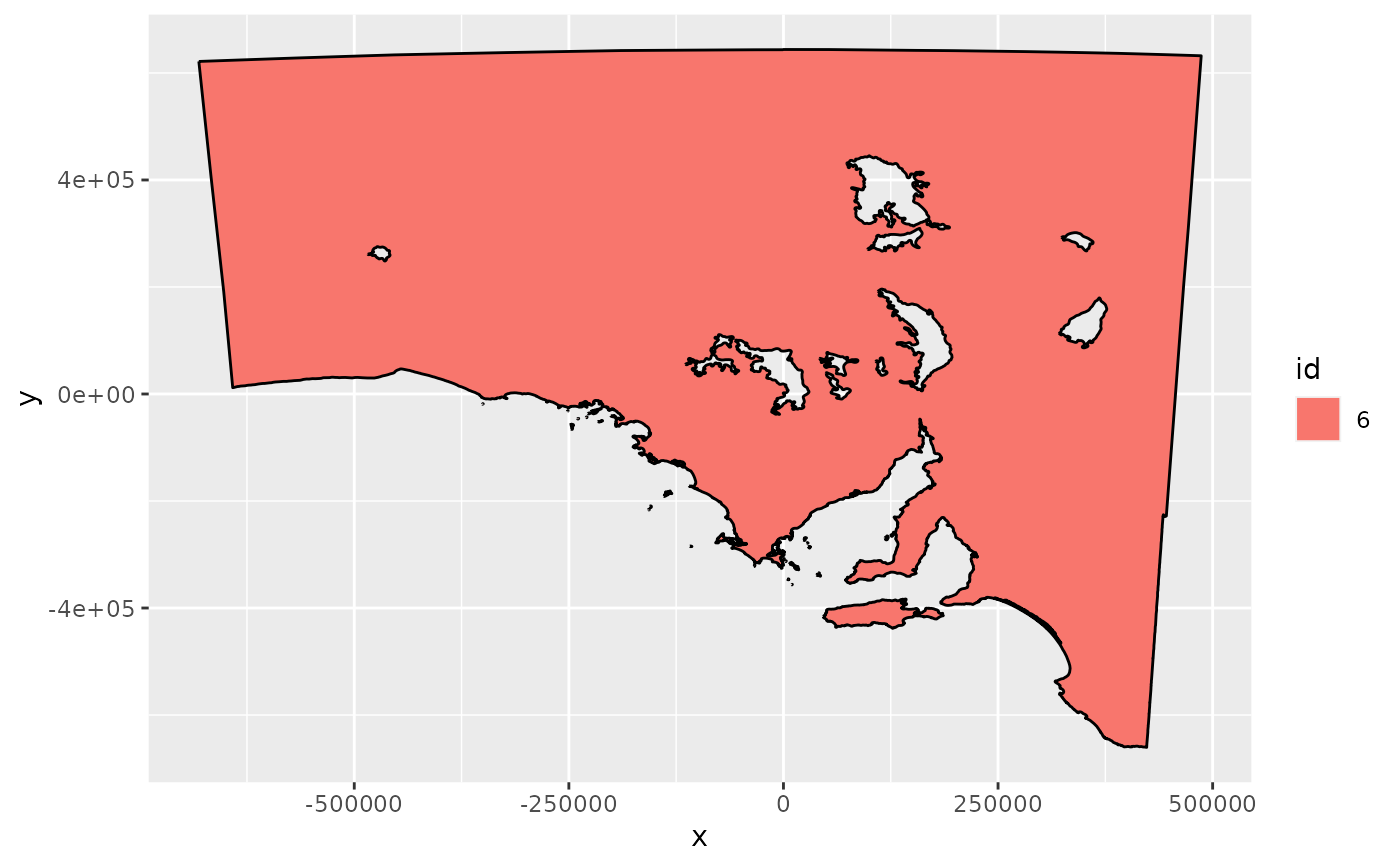
A data frame of coordinates and geometry classifiers of the garden state, South Australia.
Format
gardenstate is the geometry, a data frame with columns:
- x,y
x and y coordinate
- id
Key attribute for the objects
- piece,part
Group attribute, unique values identify a closed ring, part is the part 'id' within an object
- hole
Logical,
FALSEfor "island" vs. "hole"- order
Numeric value to identify sort order within
branch
Details
The PROJ.4 string for this map is:
-
+ellps=WGS84 +towgs84=0,0,0,0,0,0,0 +units=m +no_defs
Examples
gs <- ggplot(gardenstate)
gs <- gs + aes(x = x, y = y, group = group, fill = id)
gs +  geom_polypath() + geom_path()
